File:1928 map showing radio building location.jpg
From IEEE Milestones Wiki
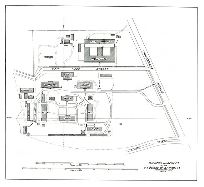
Size of this preview: 653 × 599 pixels. Other resolutions: 2,232 × 2,048 pixels | 4,764 × 4,371 pixels.
Original file (4,764 × 4,371 pixels, file size: 1.57 MB, MIME type: image/jpeg)
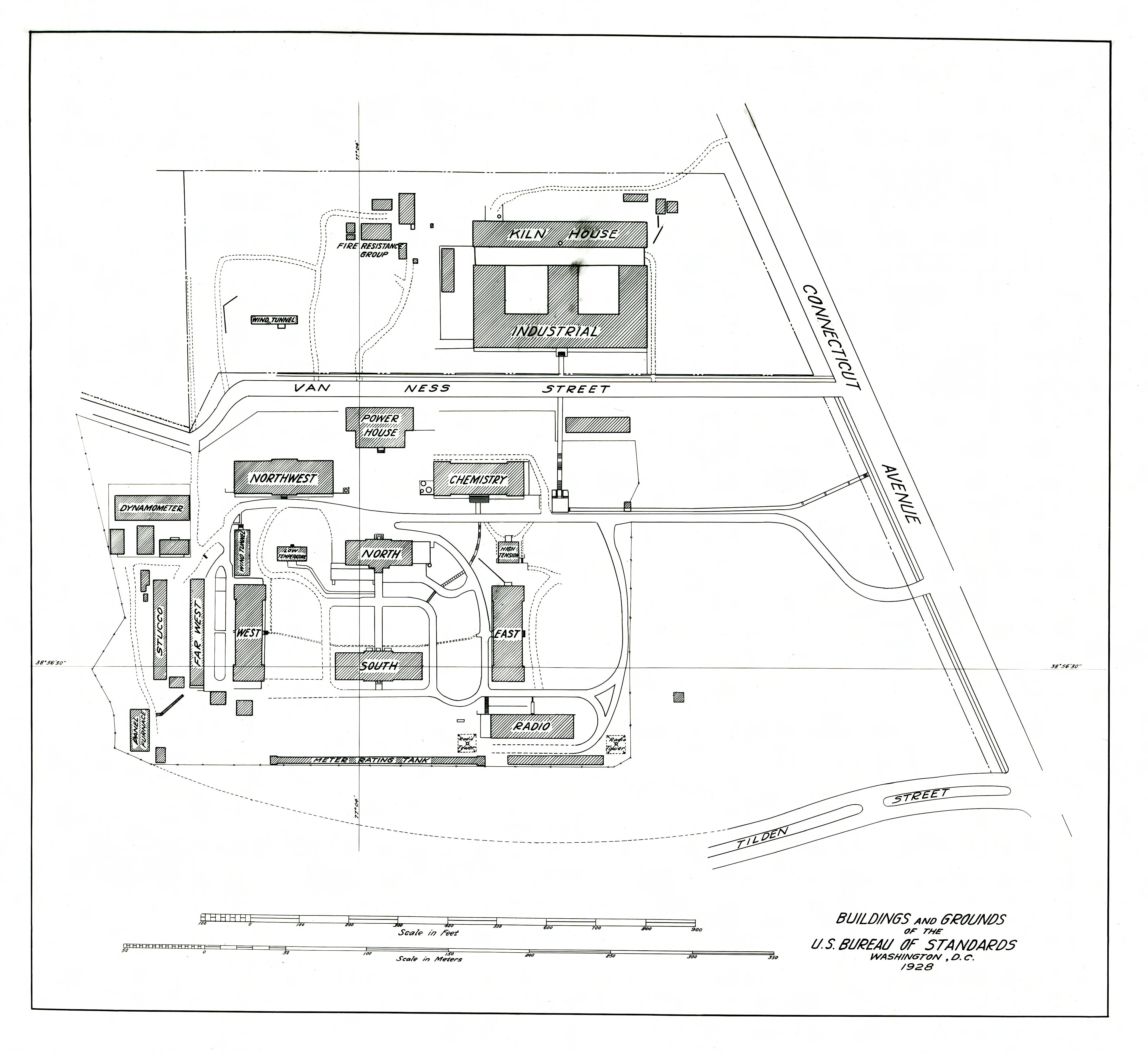
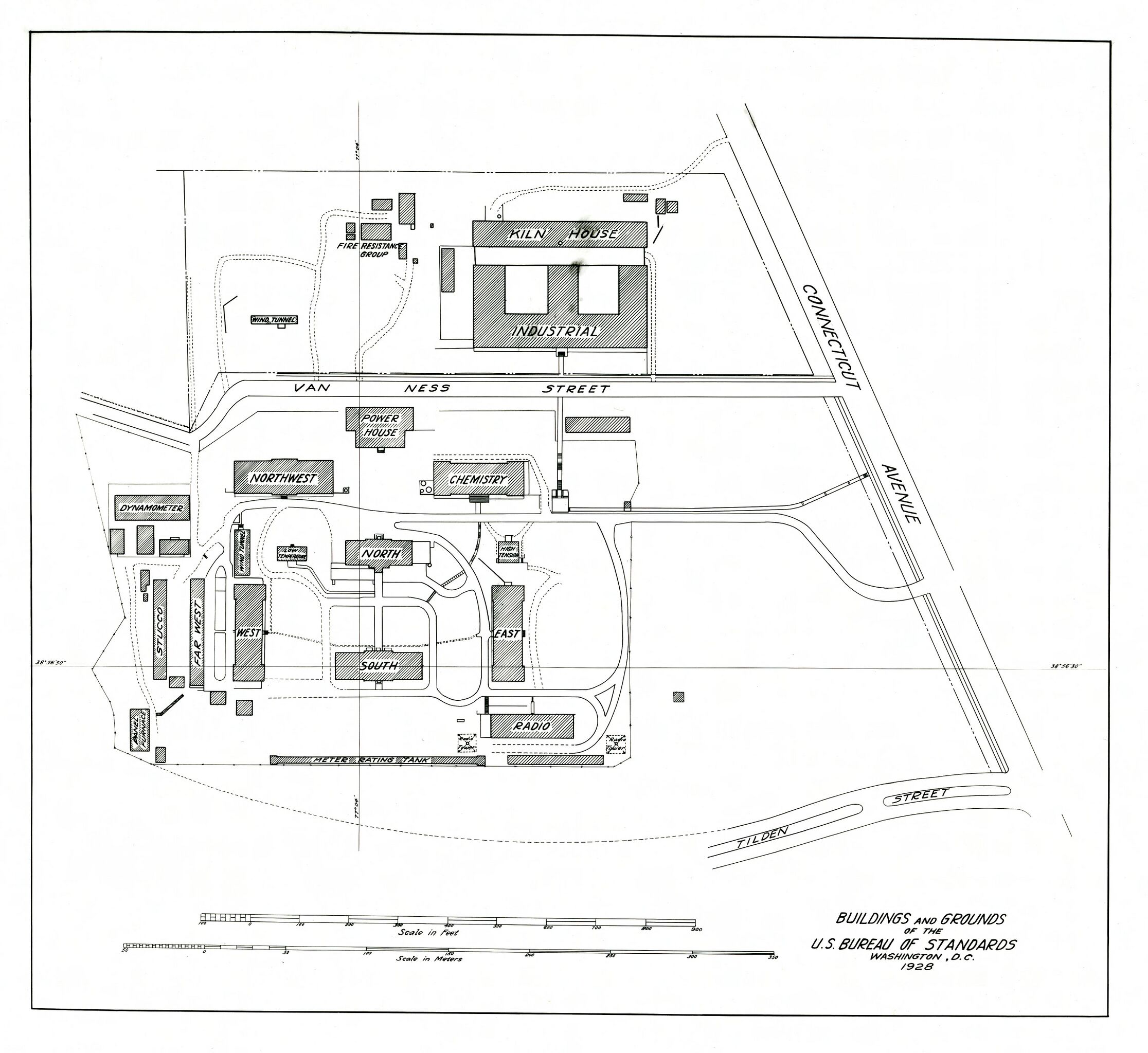
Map of the NBS campus in 1928. The Radio Building is in the bottom right corner of the campus.
File history
Click on a date/time to view the file as it appeared at that time.
| Date/Time | Thumbnail | Dimensions | User | Comment | |
|---|---|---|---|---|---|
| current | 21:46, 3 March 2016 | | 4,764 × 4,371 (1.57 MB) | Mlombardi (talk | contribs) | Map of the NBS campus in 1928. The Radio Building is in the bottom right corner of the campus. |
You cannot overwrite this file.
File usage
The following page uses this file: